Fairfields Leopold Downs Road
|
||||||||||||||
 © © |
||||||||||||||
Fairfields Leopold Downs Road |
||||||||||||||
 © © |
||||||||||||||
 © © |
||||||||||||||
 © © |
||||||||||||||
 © © |
||||||||||||||
 © © |
||||||||||||||
 © © |
||||||||||||||
 © © |
||||||||||||||
 © © |
||||||||||||||
 © © |
||||||||||||||
 © © |
||||||||||||||
 © © |
||||||||||||||
|
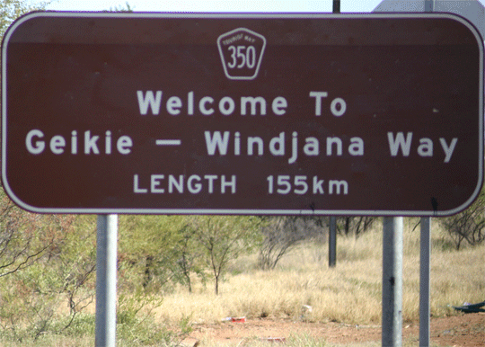
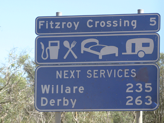
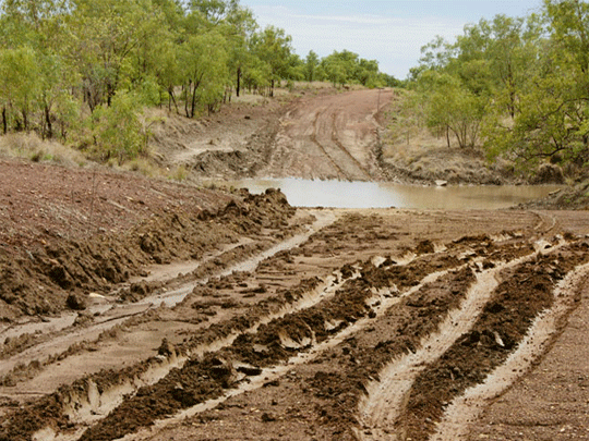
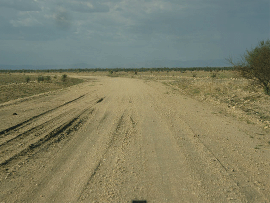
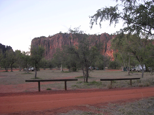
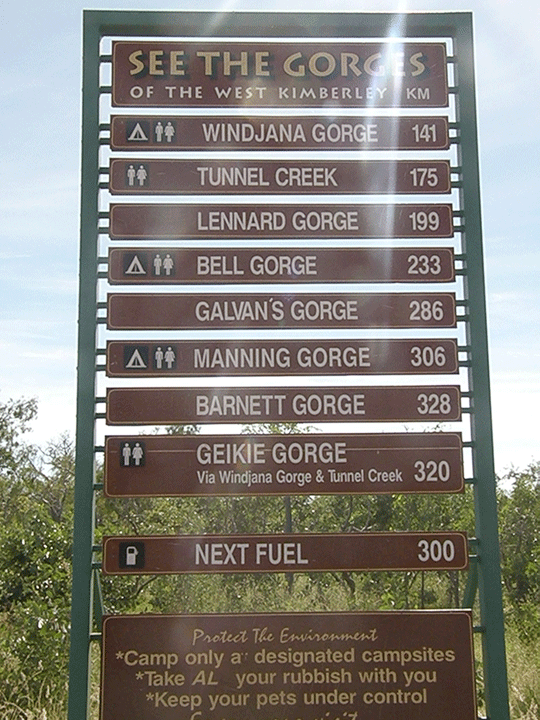
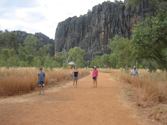
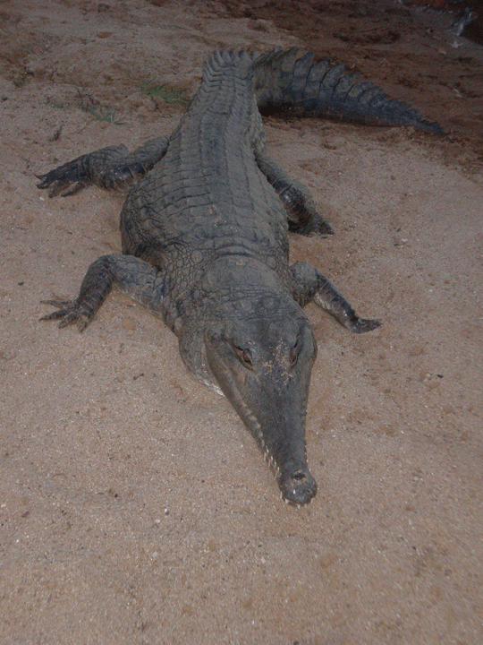
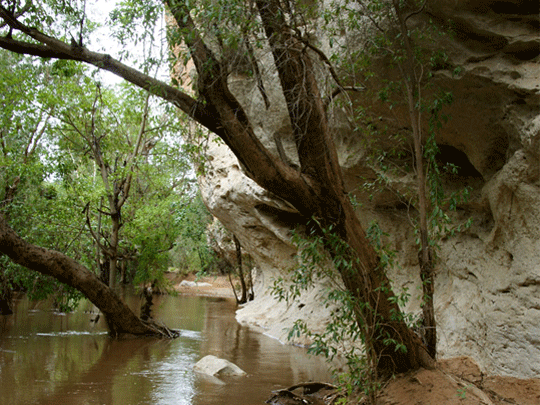
About the Kimberley Self drive along the Gibb River Road from Broome or Darwin is a Australia four wheel drive hire camper or wagon. The Gibb River Road was initially constructed as a beef road to transport cattle from the surrounding stations to the ports of Derby and Wyndham.It spans some six-hundred and seventy kilometres from Derby to the junction of the Great Northern Highway between Wyndham and Kununurra. |
||||||||||||||
 |
||||||||||||||
|
||||||||||||||

Instant camper hire price search.


Search online for current best prices and a get a detailed quote. As a proudly Australian, family owned specialist travel agent business/company, we strive to exceed your expectations with our experienced service and friendly team of Rob and Marg whilst keeping prices as cheap as we can. We source only known reputable industry specialists some you may have never heard off but anchored as reputable suppliers across Australia. Due to the teams many 100's of thousdand of quotes and our many thousands of bookings over the last 20 years we know we can offer excellent value and above all perosnal service when booking your next Australia 4wd hire for a 4x4 camper or 4x4 car for your Australia RV holiday.
-
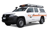
Broome to Darwin 4wd Adventure Camper rental
2 Berth - The compact Adventure Camper is perfect for those interested in a real outback adventure. Far roomier than similar vehicles, this 4WD campervan is ideal for thrill seeking couples. The extra fuel capacity means you can travel for longer without having to stop and the indoor and outdoor cooking facilities allows you to enjoy a dinner under the stars or in the cosy camper.
• Apollo 4wd Adventure rental details -
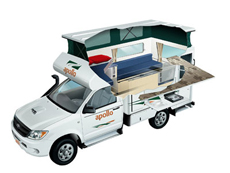
Darwin 4wd rooftop tent camper hire
Our 4WD Campers can go on most remote 4WD unsealed dirt road tracks being allowed to travel to tourism iconic destinations, they seat/sleep up to 5 people, with 2 above in the pop up roof top tent, and sleeping for 3 in the annex on 3 single foam/blowup mattress's. With basic 4WD essentials such as fridge/freezer, 2 burner gas stove and air conditioned drivers cabin this 4x4 camper is all you need to get away.
• Darwin 4wd rentals to Broome Australia details -
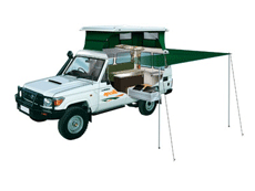
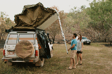
Darwin 4wd Trailfinder camper rental
Find your own trail with this pop-top 4WD Camper. A Trailfinder Camper is ideal for adventurous couples with superior handling in rough terrain. Featuring a large slide-out kitchen and pop top roof.
• Apollo 4wd Trailfinder camper rental Australia details
-
Darwin 4x4 wagon offroad hire
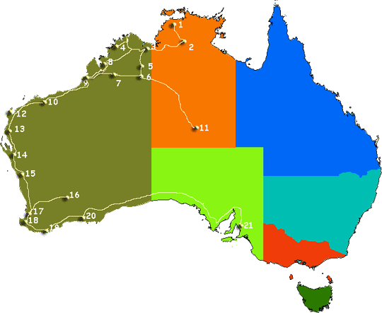
Choose a Australian 4 wheel drive car hire return or oneway rentals from branches in Adelaide, Alice Springs, Brisbane, Broome, Cairns, Darwin, Melbourne, Perth and Sydney depots. • Our range consists Amarok or Toyota Landcruiser 76 series Workmate Wagon or similar options. Look at our current Australia 4wd hire specials.
• See prices and get a quote for Australia 4wd car hire here
-
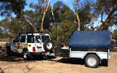
Darwin 4x4 camper trailer hire
Don’t have a 4WD but want to go bush? We have come up with a perfect package. This package is also available in Darwin during the dry season from May to August each year. Other times of the year will depend on demand and circumstance, however feel free to call us to find out how we can help you plan your Northern Australian Adventure. Looking for Northern Territory offroad routes Self drive Australia 4wd and highway routes • here are some self drive itineraries • 4WD Broome to Darwin.
• Darwin 4wd camper trailer hire Australia
-
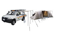
Broome to Darwin 4x4 hire
5 Seat 4WD Campers or 4WD Car with tents packages for camping hire called the Safari Camper sleeps up to 5 Adults with camping gear. Excellent setup camp early eve and enjoy the great outdoor and have your dinner at a 5 million star spot.
• See prices and get a quote for Australia 4wd car hire here